Directions – Dynamic Map

Directions – Dynamic Map

Subject

Directions – Go straight, turn left, turn right

Preparation

Poster print each map

Description

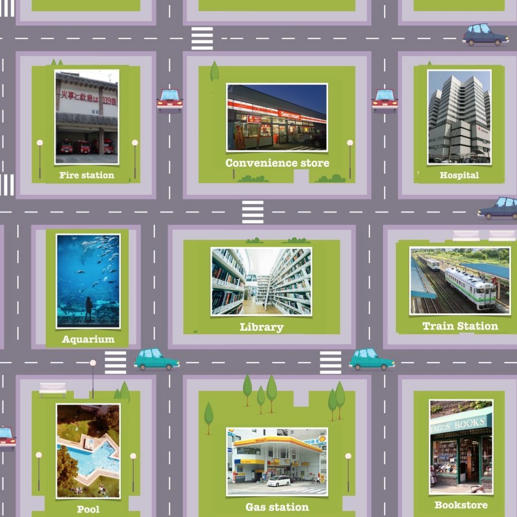
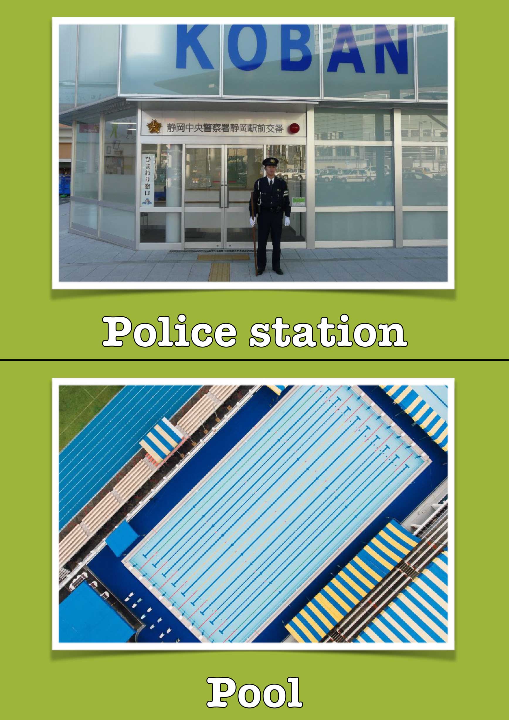
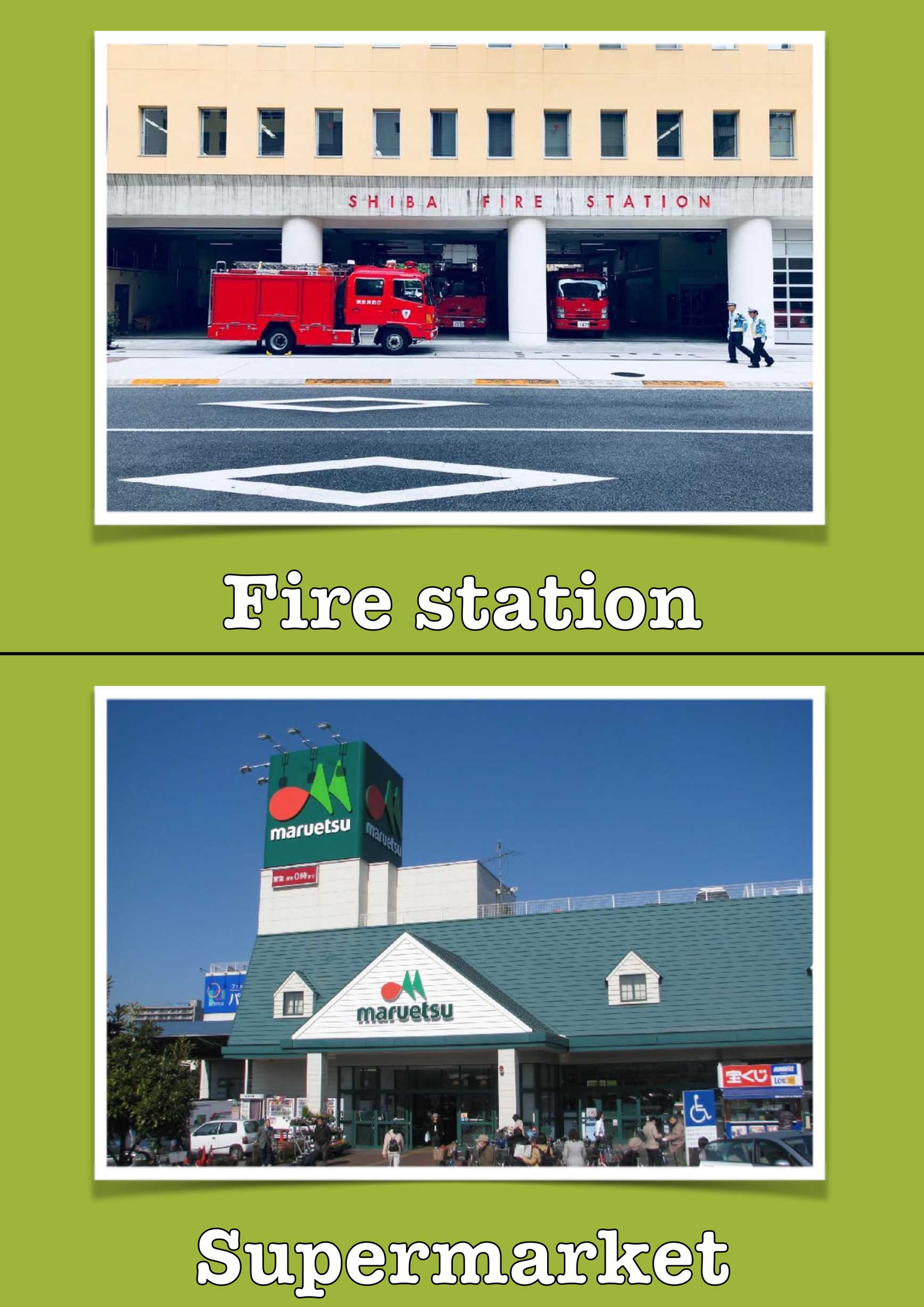
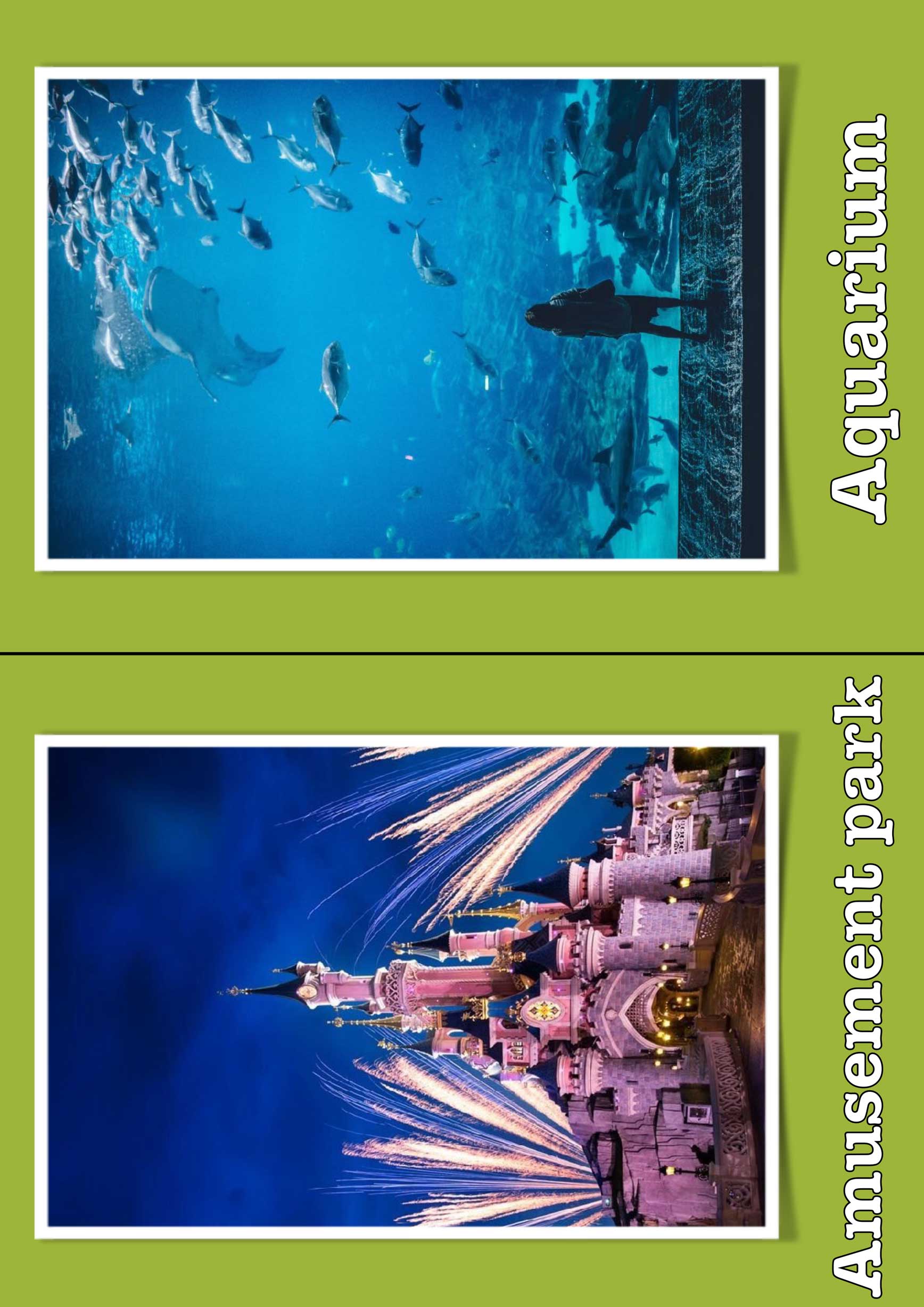
My fellow teacher asked if I could make a map of a generic town for the English classroom. I said sure and came up with this concept.

The idea here is that you can print the maps and fit them together, as you see fit, to make a big grid. Then by printing your grid large enough you can place the flashcards provided in the green areas. (hence why the background of the flashcards are green). Making this, a dynamic map that can change.
I have included a multipage version for printing. Plenty big enough to slap the flashcards wherever you need to. (Flash cards can be printed at the size provided) I laminated my map and flashcards, plus added velcro to the back of the flash cards and in the centers of the green squares. Wheee! Big interactive map.
 

It was a big project and might not work for everyone, but I worked enough on it to at least post it up here for whoever wants to do the same.

Example: There is the square map and the diagonal map. By themselves are fine, well, and dandy. BUT!! If you print multiples of the square and diagonal, you can make the map as big as you want.

After that, slap the flashcards on this bad boy. It can fit so many flashcards.

Maps

Places Flash Cards

Places Flash cards Preview

Latest Posts

Leave a Comment

Your email address will not be published. Required fields are marked *

This site uses Akismet to reduce spam. Learn how your comment data is processed.

Scroll to Top